
Standing by the Talas River early in the morning, when the fog still lingers over the water, it is easy to imagine how caravans passed through here, how cavalry units moved along these very shores, how language, faith, and power changed - while the river continued to flow. For the nomadic world, the Talas River has always been a road, not a boundary.
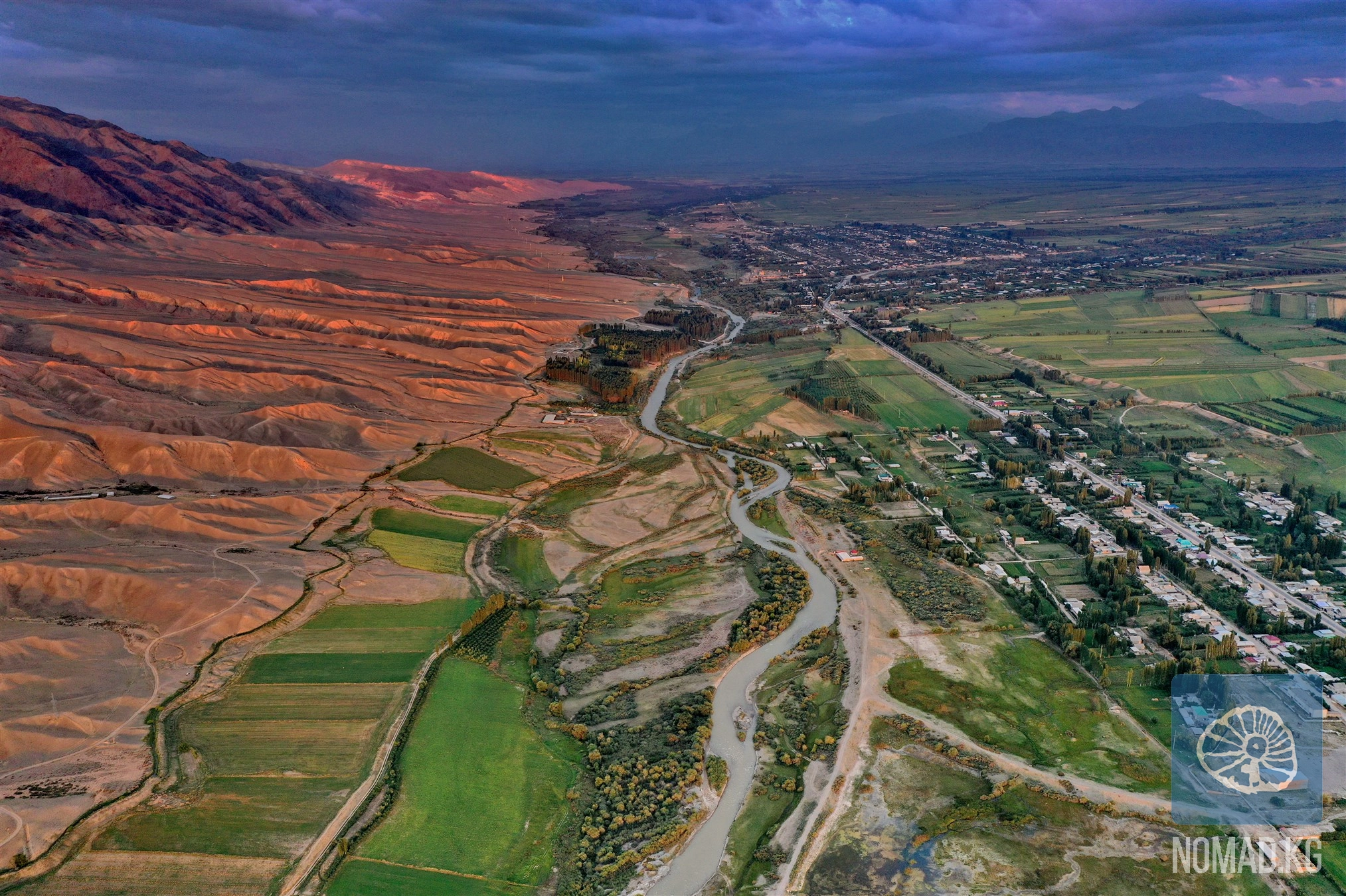
The Talas River is one of the key water arteries of the Western Tien Shan. Its length is about 661 kilometers, and the area of its watershed is over 52 thousand square kilometers. The sources of the Talas originate high in the mountains - from the confluence of the Karakol and Uch-Koshoy rivers, fed by glacial and snow reserves from the ridges of the Kyrgyz Ala-Too and Talas Ala-Too.
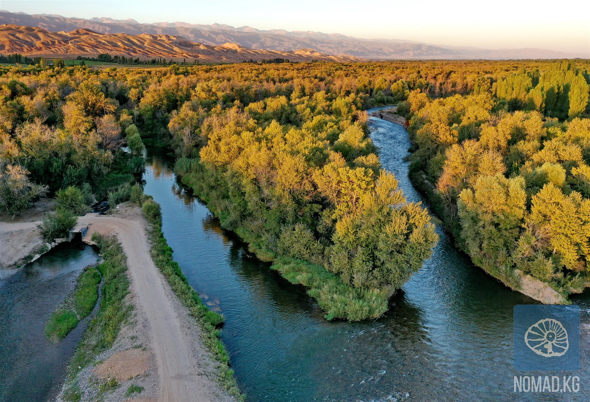
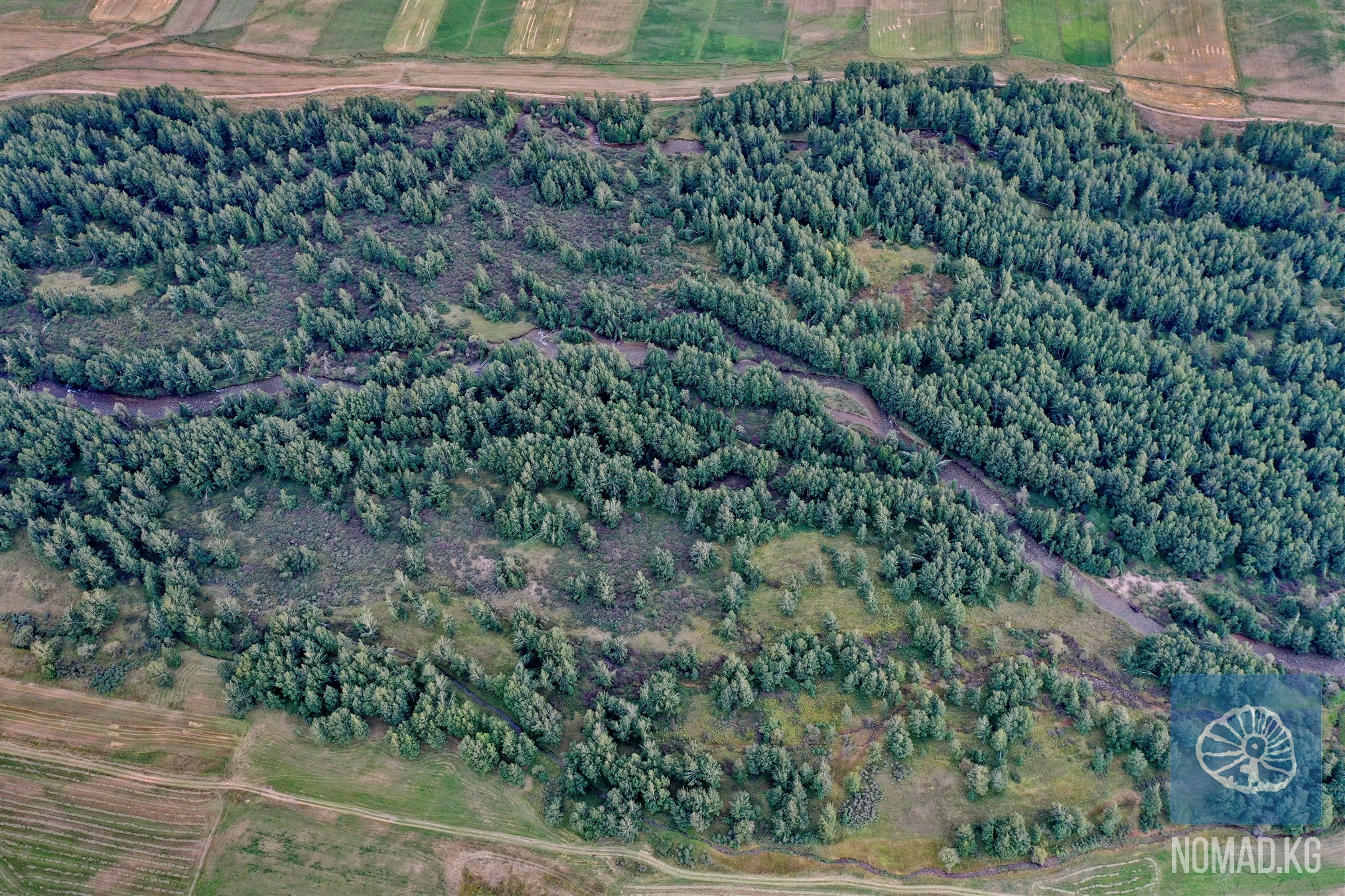
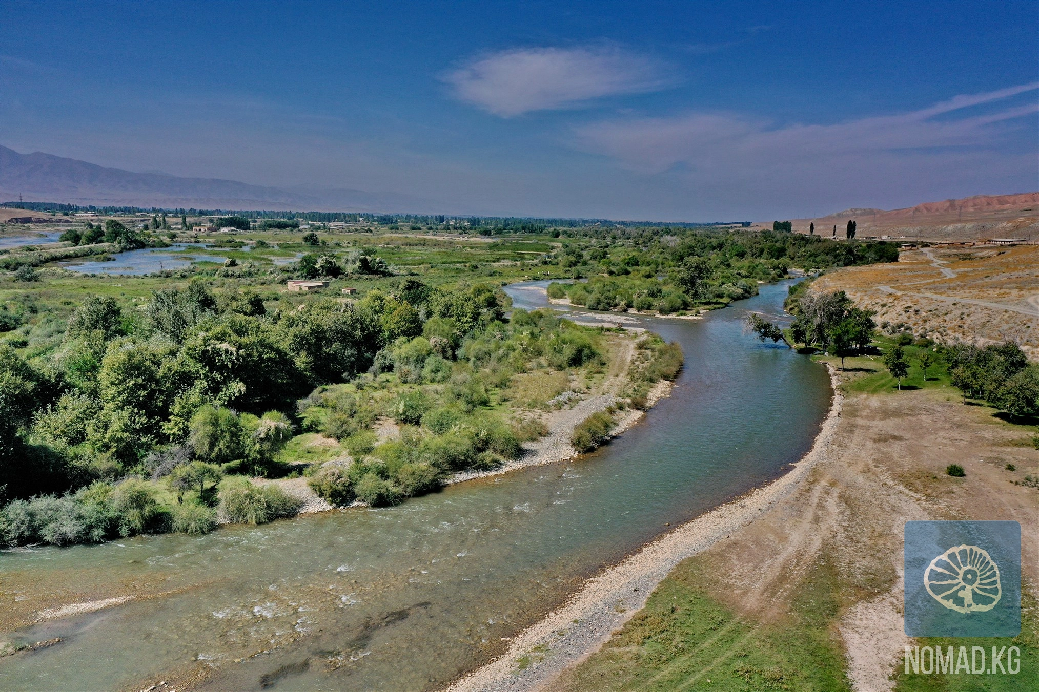
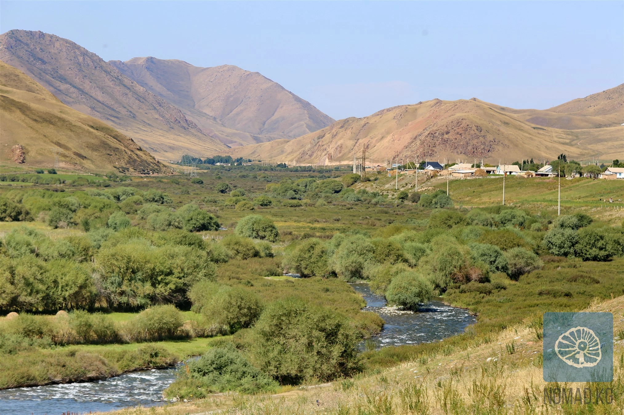
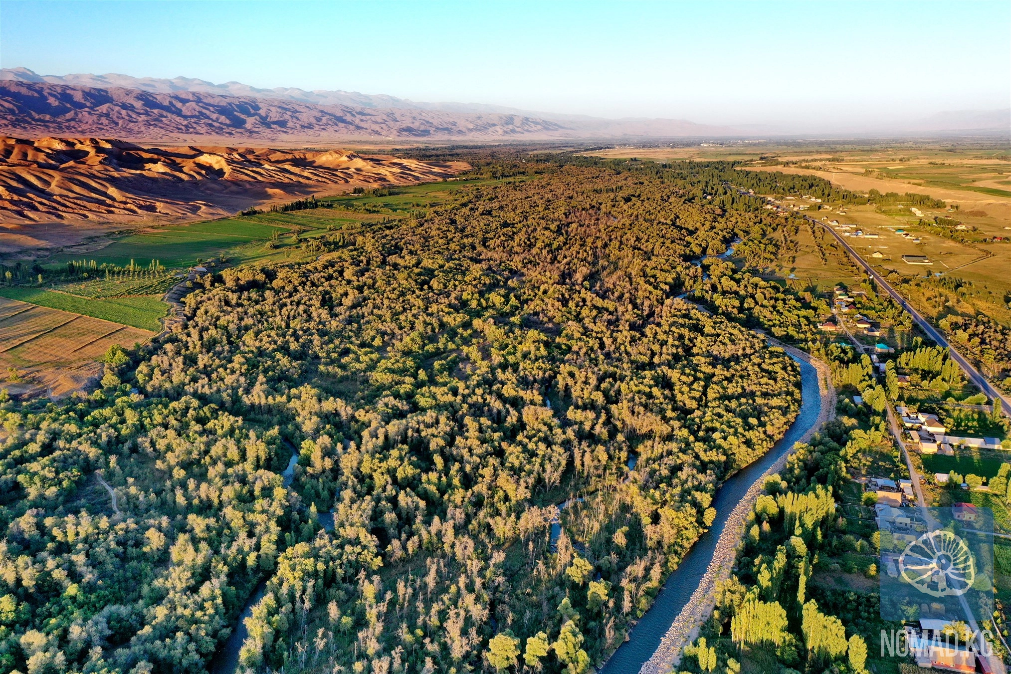
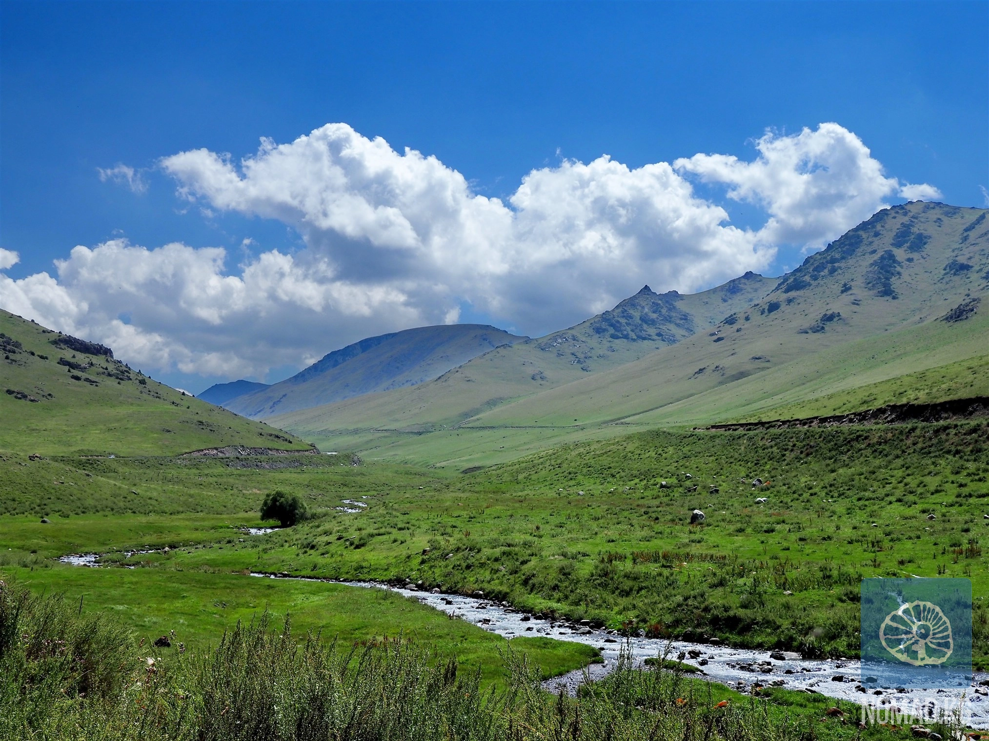
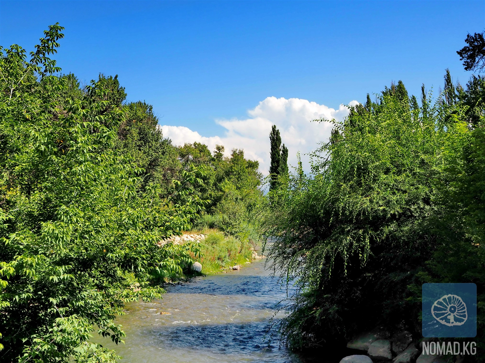
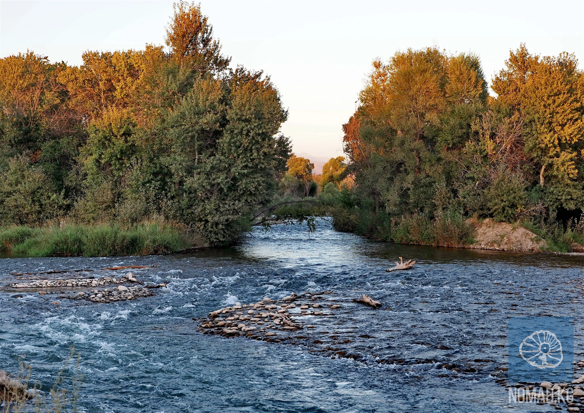
In its upper reaches, the river is swift and compact, but as it flows into the western valley, it gradually changes character. The riverbed splits into branches, forming islands, backwaters, and floodplains. Here, water is not just movement but also a medium of life - for people, livestock, and land.
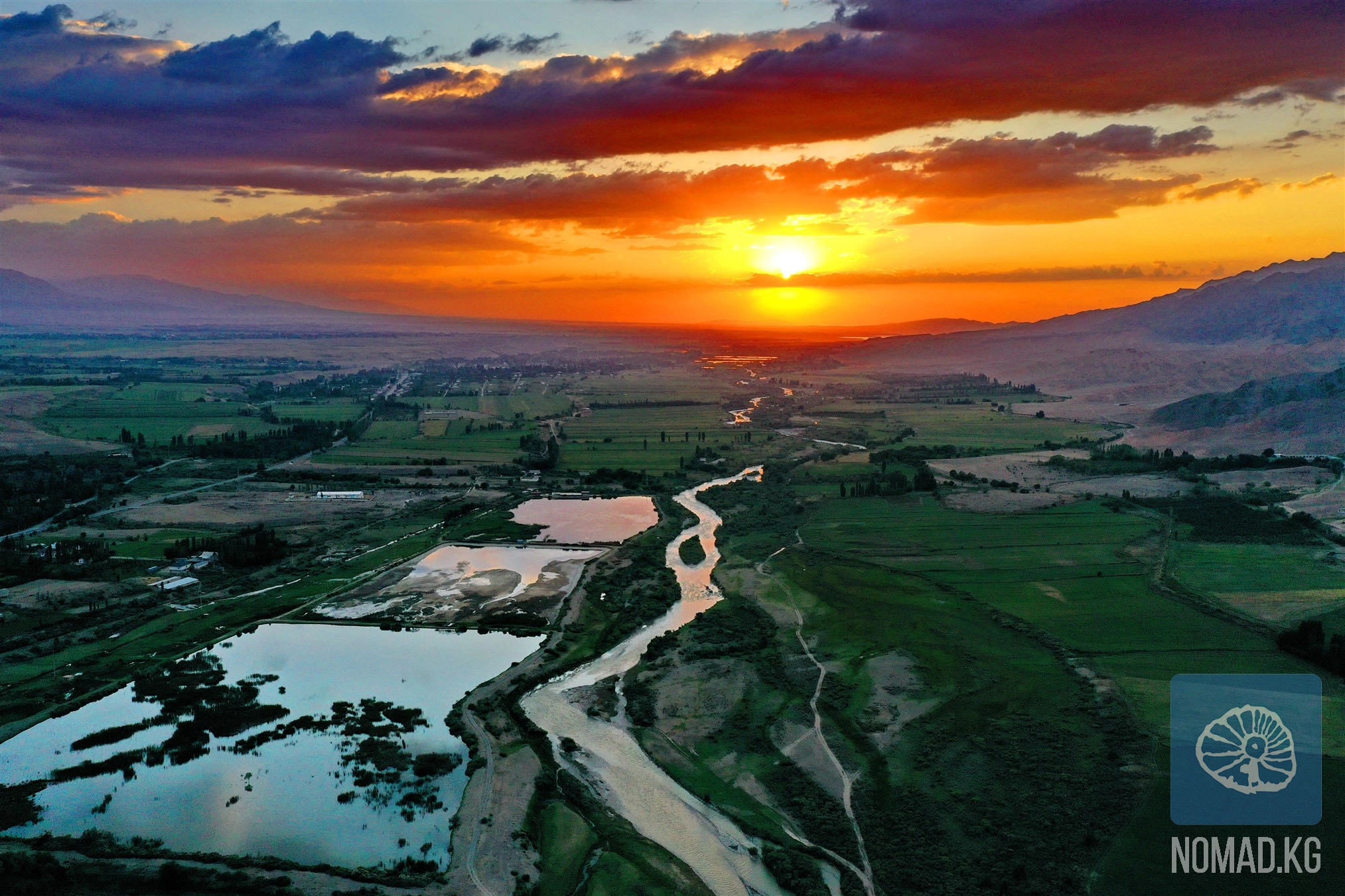
Up to the village of Kirovskoye (?!), the Talas River is characterized by a dense network of tributaries. It is here that water has been used for irrigation for centuries, forming sustainable agricultural oases amidst the steppes. After rounding the western end of the Kyrgyz ridge, the river flows into an open plain, where its waters gradually disperse - into fields, sands, and the sky. Ultimately, the Talas is lost in the expanse of the Moyunkum Desert, forming a network of lakes and swamps, never reaching the Chu River, to which it was a tributary in the past. This is a rare example of a river whose disappearance is not a tragedy but a natural continuation of its path.
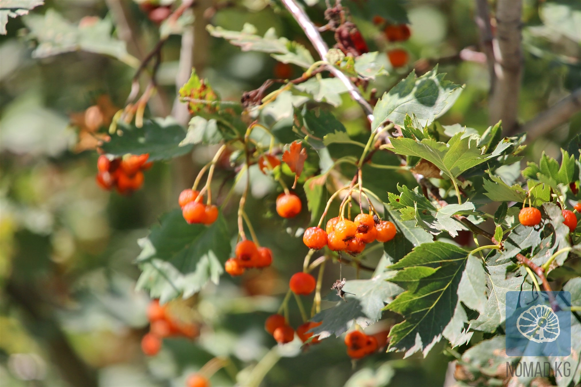
The Talas is fed by glacial and snow melt. Along its course, it receives numerous tributaries, among which the most water-rich are Urmaral, Kara-Bura, Kumushtak, Kalba, and Besh-Tash. These rivers carry the character of the mountains: in spring, they are turbulent; in summer, calmer; in autumn, clear and cold. The average water flow changes significantly along the course: in the upper reaches, it is about 15.7 m³/s, while above the city of Taraz, it reaches 27.4 m³/s. The spring flood begins in late April and lasts until September, setting the rhythm of rural life on both sides of the border.
On the left bank of the Talas lies the city of Talas - the administrative center of the eponymous region of Kyrgyzstan. Further downstream, already on the territory of Kazakhstan, the river flows through Taraz - one of the oldest cities in Central Asia. For both cities, the Talas River has been and remains a source of water, movement, and meaning.
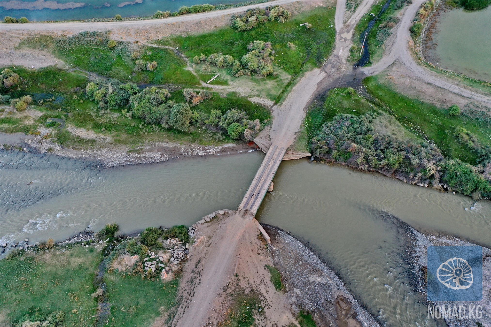
Hydraulic structures have been built on the river - Talas, Temirbek, Zhiyembet, Uyk, as well as the Kirov Reservoir. These constructions have altered the flow but have not diminished the river's significance as a connecting element of the region.
The Talas Valley is one of those places where history literally layers. In 36 BC, here, at the walls of the fortress of Zhichzhicheng, a battle took place between the Xiongnu forces led by Zhichzhi-shanyu and the army of Han China. The outcome was the death of the Xiongnu ruler and the establishment of Chinese influence - temporary, as history will show.
In 751, near Talas, the famous Battle of Talas occurred. The armies of the Abbasid Caliphate, supported by the Turgish and Karluks, defeated the army of Tang China. The decisive blow came from the sudden attack of the Karluk cavalry on the Chinese rear. This victory changed the region: Chinese expansion was halted for centuries, the spread of Islam began, the Karluks formed their own khanate, and the Uyghurs regained independence in Eastern Turkestan. Sometimes, a single river witnesses the turning points of civilizations.
There is a version that the name "Talas" is related to the ancient city of Tolosa, mentioned by the Chinese monk Xuanzang. In translation from the Tocharian language, "Tolosa" is interpreted as "Abode of the Az" - one of the Turkic tribes. This name, having passed through centuries and languages, could have become associated with the river. In oral tradition, it is said more simply: Talas is the "river of meetings," a place where paths converged.
In the Talas Valley, archaeological monuments with ancient Turkic inscriptions, traces of burial mounds, settlements, and sacred sites have been preserved. Here, it is easy to feel that history has not vanished - it has simply become part of the landscape.
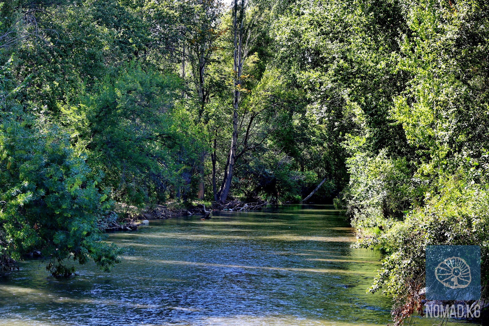
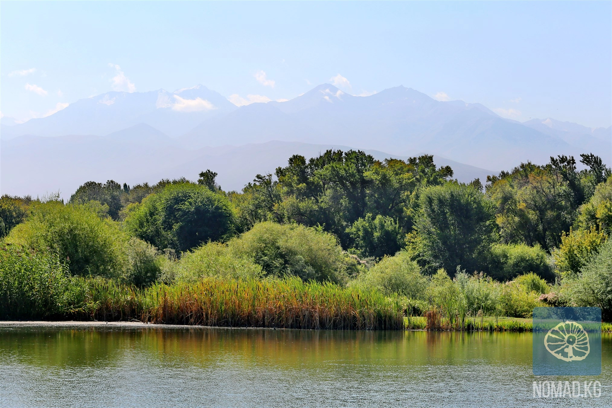
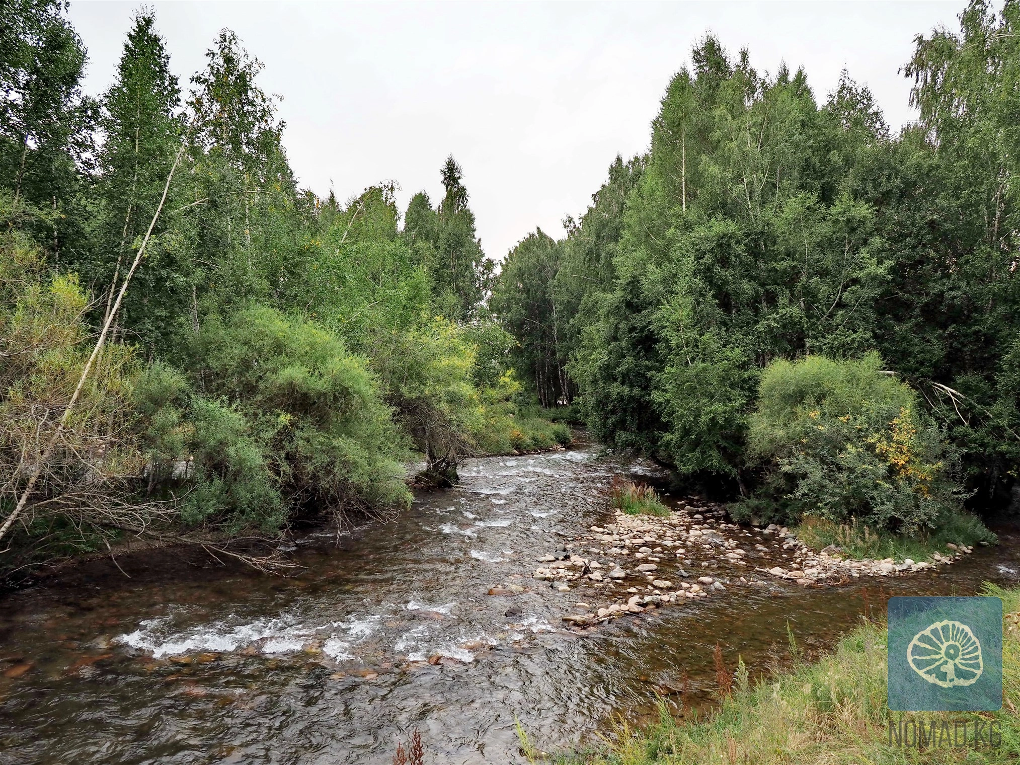
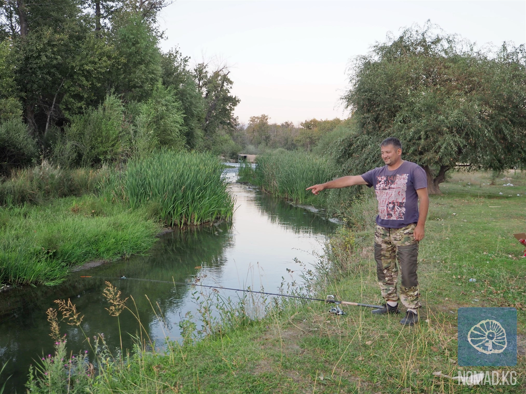
The best way to understand the Talas River is to walk along its banks. Walking in the valley, especially in the middle reaches, allows one to see how the river changes from season to season. In spring, it is power and flood; in summer, tranquility and green floodplains; in autumn and winter, clarity and light.
In the early morning, one can see locals coming to the water - for livestock, for irrigation, or just to sit in silence. These scenes are not touristy, but they create a sense of authenticity.
The best shooting spots are where the riverbed splits into channels, forming islands. The light here works particularly subtly, emphasizing the relief and movement of the water.
From Bishkek to the city of Talas, one can travel by car through the passes or through the territory of Kazakhstan. Further movement along the river is convenient by car; public transport connects the main settlements.
The optimal period is May to November. Spring and early summer are suitable for observing the flood, while August and September are perfect for leisurely walks and photo journeys.
Comfortable walking shoes for the riverbanks, sun protection, and a water supply are essential. In the summer months, insect repellent, and in the off-season, warm clothing.
In cities, there are guesthouses and small hotels; in rural areas, overnight stays with locals can be arranged or camping can be done. The heat in the plain area, lack of connectivity in certain sections, and sometimes strong winds should be considered. Route planning and respect for local conditions are mandatory.
The river is vulnerable. Everything you bring must be taken back. It is important to respect the water - the main resource of the region - and not to disrupt the usual way of life.
The Talas River is not a tourist attraction in the conventional sense. It is a space where the journey occurs not only on the map but also within. Here, you begin to feel time differently: as a flow that cannot be stopped but can be heard. Leaving this place, you understand that you have seen not just a river. You have seen a path - the very one that nomads have traveled for centuries, leaving no traces except for the memory of water. And perhaps that is why the Talas River is so important. It reminds us that the journey is more important than the destination.

Peak Manas is the highest point of the Talas Ala-Too ridge, with an elevation of about 4485-4488 meters above sea level, and this figure alone sets the tone: here, the familiar routes end, and the territory of true mountains begins. The
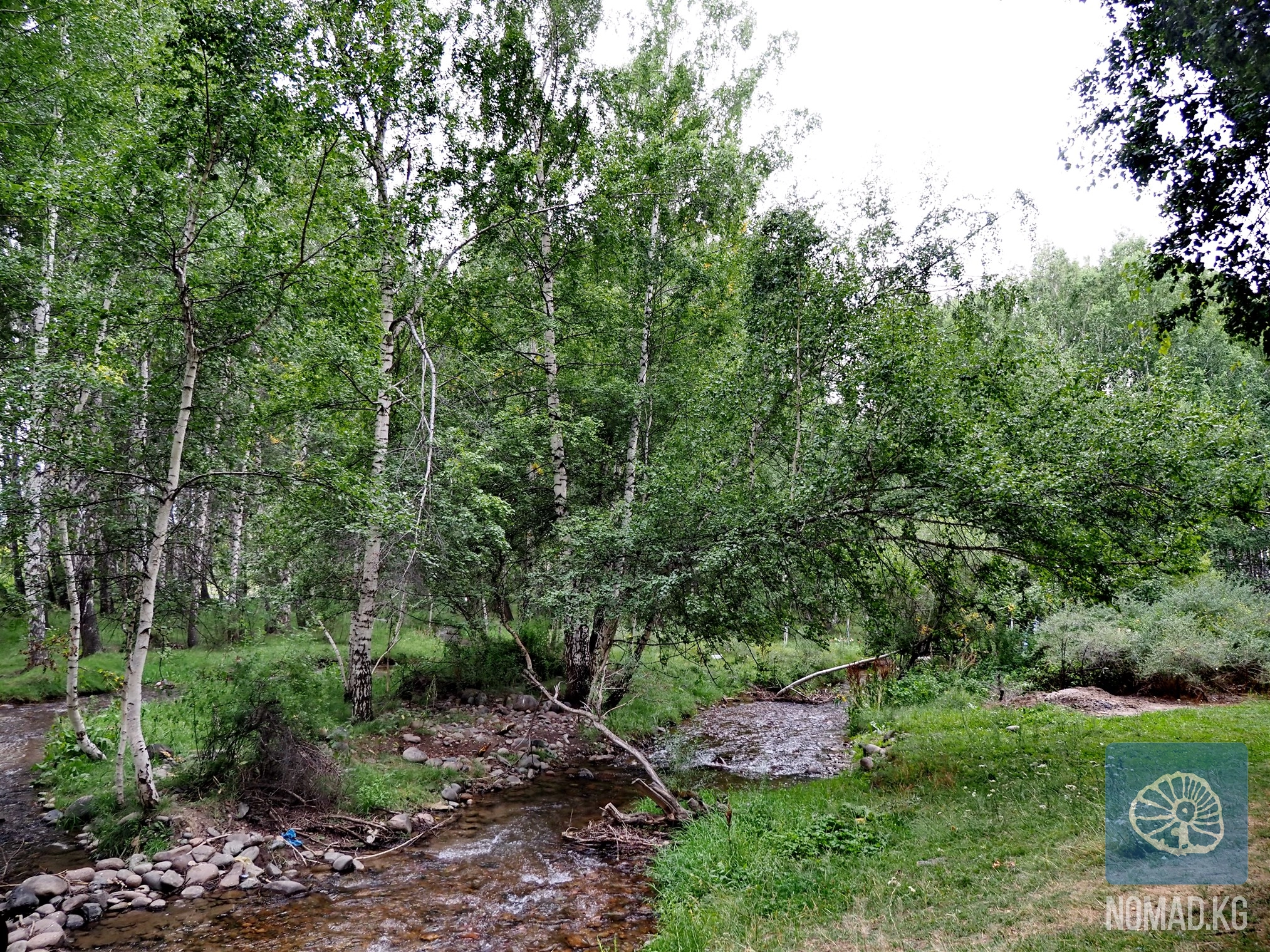
If there is a place in the Talas region that amazes from the very first step, it is the Talas Birch Grove - the largest man-made birch forest in all of Central Asia and one of those places where humans and nature have created a true oasis of
Kyrgyzstan is a country where the memory of ancestors, sacred space, and natural power merge into a single cultural landscape. For centuries, Kyrgyz people have placed special importance on burial monuments and holy sites—mazars. Even today,
In the very heart of the blessed Talas Valley, where the silvery Talas River leisurely carves its path between two majestic mountain ranges - the Talas and Kyrgyz ranges - lies a unique natural oasis. The Talas Forest is not just a green stripe on
If you have already seen Lake Besh-Tash and think that the national park has revealed all its secrets to you, then you simply haven't yet ascended the Itagar Pass. This is the route after which photos remain in your phone's memory that you
In the Talas Valley, among the hills and green valleys, lies one of the most revered sacred places in the region - the mazar of Boo-Terek. Its name translates from Kyrgyz as "a bundle of poplars" or "many poplars," and this is no
The Talas region is one of the corners of Kyrgyzstan where history is felt not in museum showcases or academic works, but in the wind, in the scent of dry wormwood, in the lines of mountains frozen around the valley like an ancient choir. Here, the
Among the picturesque mountains of the Bakai-Ata district, not far from the village of Urmaral, lies one of the most mysterious and revered places in the Talas region - the Kara-Koyun cave. This is not just a dark niche in the rocky mass, but a
The Talas Geopark "Echkilі-Tuu" is located in the mountain range of the same name, Echkilі-Tuu, which is part of the Kyrgyz Ala-Too ridge, in the Sary-Kuurai gorge, one of the most impressive natural attractions of Kyrgyzstan. This geopark
The mountains of the Talas Ridge conceal many secrets, but one of the most astonishing is the complex of rock carvings at Bakayir-Kara-Kuush, located in an easily accessible gorge where human footsteps are lost among the stones, and ancient
The Besh-Tash National Park, which translates to "Five Stones," stretches in a narrow chain along the Talas Ala-Too mountain range. On a good gravel serpentine road up the Besh-Tash river gorge, it feels like the car is about to hit the
In the Talas Valley, there is a place where legends come alive at every step, and the silence of the mountains speaks louder than any storyteller. This is the Besh-Tash Gorge - one of the most picturesque and symbolic natural spaces in Kyrgyzstan.
The Ötmäk Pass (3326 m above sea level) is one of the most impressive places in the Talas region and an essential mountain artery connecting the closed Talas Basin with the expansive Suusamyr Valley and the strategic Bishkek-Osh highway. This is the
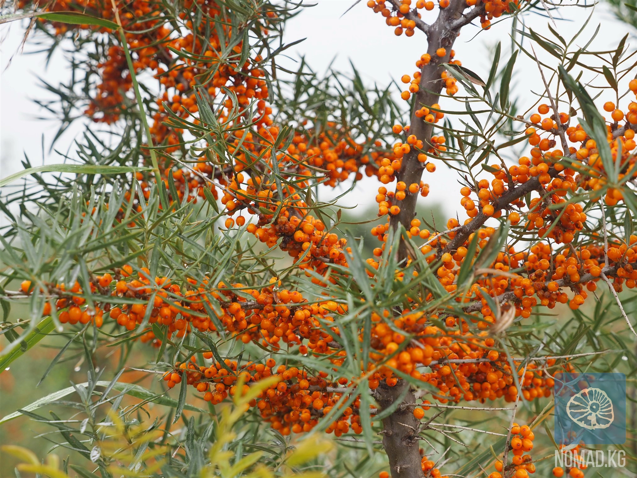
The Talas region is not only a land of ancient settlements and legends but also of remarkable natural abundance. Here, surrounded by the stunning mountain gorges of Besh-Tash, Kolba, Kumush-Tag, and Urmaral, one of the most heartfelt gastronomic
The Besh-Tash Nature Park covers over 30,000 hectares, stretching nearly 30 kilometers upstream along the river of the same name - from the gentle foothills at an altitude of 1,100 meters to the harsh, cold glaciers rising to 3,500 meters. The park
Just thirty minutes by car and ten minutes on foot from Talas lies an amazing place - the Kulaan-Sai mine, one of the most accessible old workings for lead ore extraction in the region. At first glance, an ordinary mountain gorge, Kulaan-Sai
Where once small rural streets stretched along the river valley, where people lived a measured steppe life, today lies a vast expanse of water - the Kirov Reservoir, one of the most significant hydraulic structures in Kyrgyzstan and an impressive
In the very heart of the picturesque Talas region, amidst the rugged gorges of the Bakai-Ata district, lies one of the most unusual natural wonders of Kyrgyzstan - the "Kara-Kishi" geopark. This place seems to exist outside of time: the
Among the hills of the Talas Valley, near the clear river Ken-Kol, lies one of the most cherished places in the vicinity of the National Complex "Manas Ordo" - the sacred spring "Kanykey Apa." For the Kyrgyz, this is not just a
The Talas Valley is one of those places where Central Asia speaks to the traveler through the language of wind and silent stones. Here, between hills and gorges, traces of ancient civilizations have been preserved, whose names have long dissolved in
Today, beans have become a true brand of the region. More than 70% of all exported beans from Kyrgyzstan are grown right here, in the fertile Talas Valley. The locals respectfully refer to it as "white gold" - and not without reason. It
Usually, the discovery of archaeological sites is associated with hard-to-reach mountains, abandoned trails, or deep gorges that are accessible only to researchers. But the Talas region surprises once again: not far from a busy road, just a few
High in the Kaman-Suu gorge, at an altitude of about 2500 meters above sea level, lies one of the most expressive and multilayered monuments of rock art in Kyrgyzstan - Jaltyrak-Tash, which translates to "shining stone." This is not just a
In the center of the village of Kyzyl-Adyr, which many travelers remember by its old name Kirovka, there is a local history museum named after Mikhail Fyodorovich Tura in the secondary school named after Orozbekov Meilibek. At first glance, it seems